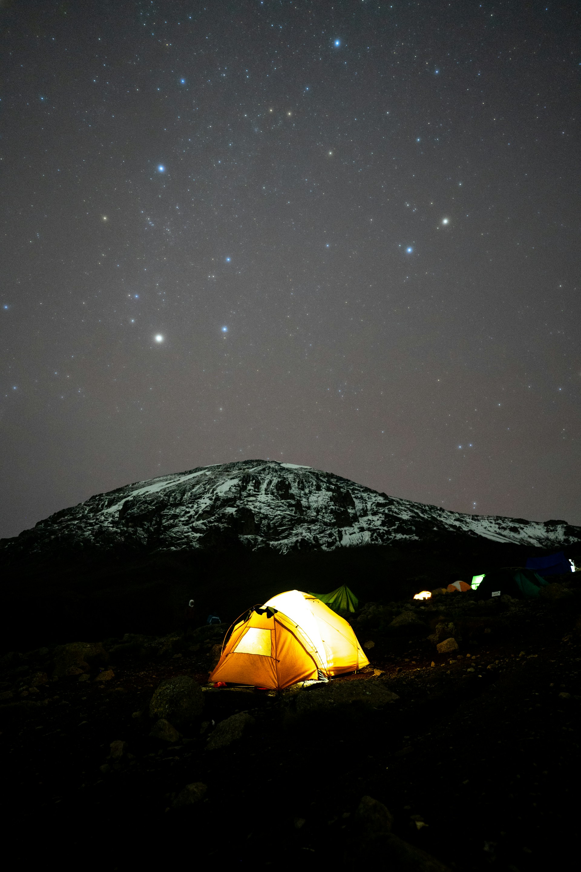
There are seven established routes to climb Mount Kilimanjaro – Marangu Route, Machame Route, Lemosho Route , Shira Route, Rongai Route, Northern Circuit Route and Umbwe Route.
Considerations such as the route's landscape, difficulty, foot traffic, and altitude acclimation features should be made in order to determine which Kilimanjaro route is best for you.
Because of its straightforward path and gentle incline, the Marangu route—sometimes referred to as the "Coca-Cola" route—is the most popular and well-established route on Kilimanjaro. It is also regarded as the easiest way. This approach requires a minimum of five days, although there is very little chance that you will be able to reach the peak in that amount of time. It is strongly advised to stay on the mountain for an additional acclimatization day.
Unfortunately, because the ascent and descent of Marangu are on the same trail, it is not as scenic as the other routes. That is also the reason it is the busiest route.
Instead of camping, lodging along this route is provided in dormitory-style cottages. Horombo Hut has 120 bunk beds, while Mandara and Kibo Huts have 60 bunk beds apiece. Although beds and pillows are provided, sleeping bags are still needed. The huts include shared dining areas and simple restrooms; at the lower huts, they include running water and flushing toilets, but at Kibo Hut, they have lengthy drop toilets and buckets of water.
Due to its breathtaking scenery, the Machame path—also referred to as the "Whiskey" route—is the most well-traveled route. But because the trail is regarded as tough, steep, and demanding, people who are more daring or have prior high-altitude hiking or backpacking expertise should choose this option.
The Mweka route is used for the descent after approaching Mount Kilimanjaro from the south. For this journey, six days is the minimum required, although seven days is advised.
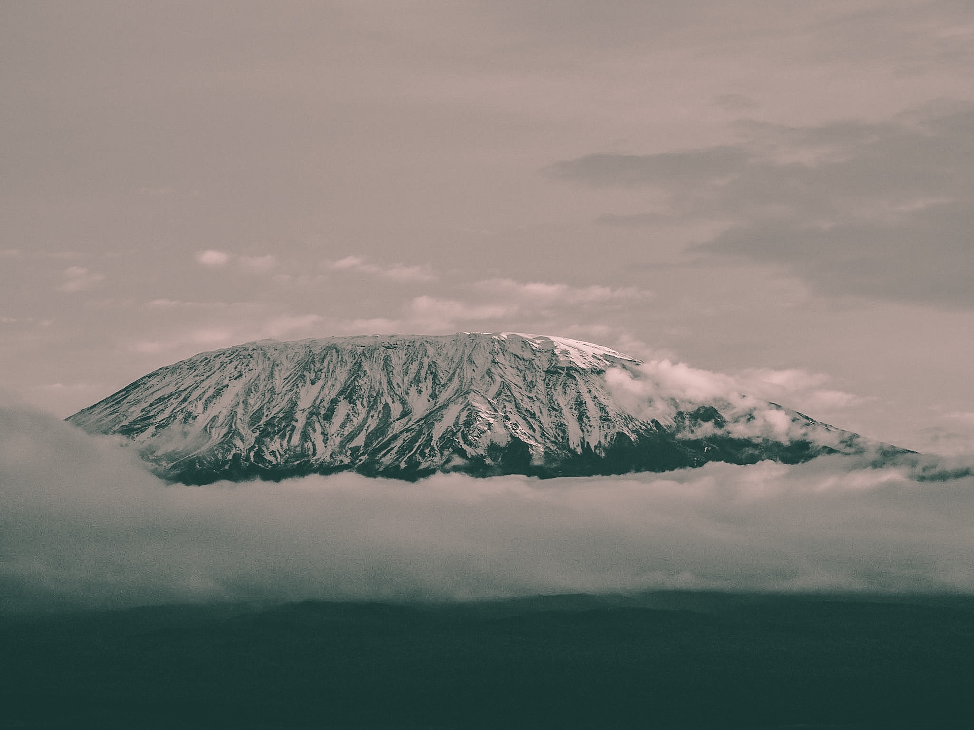
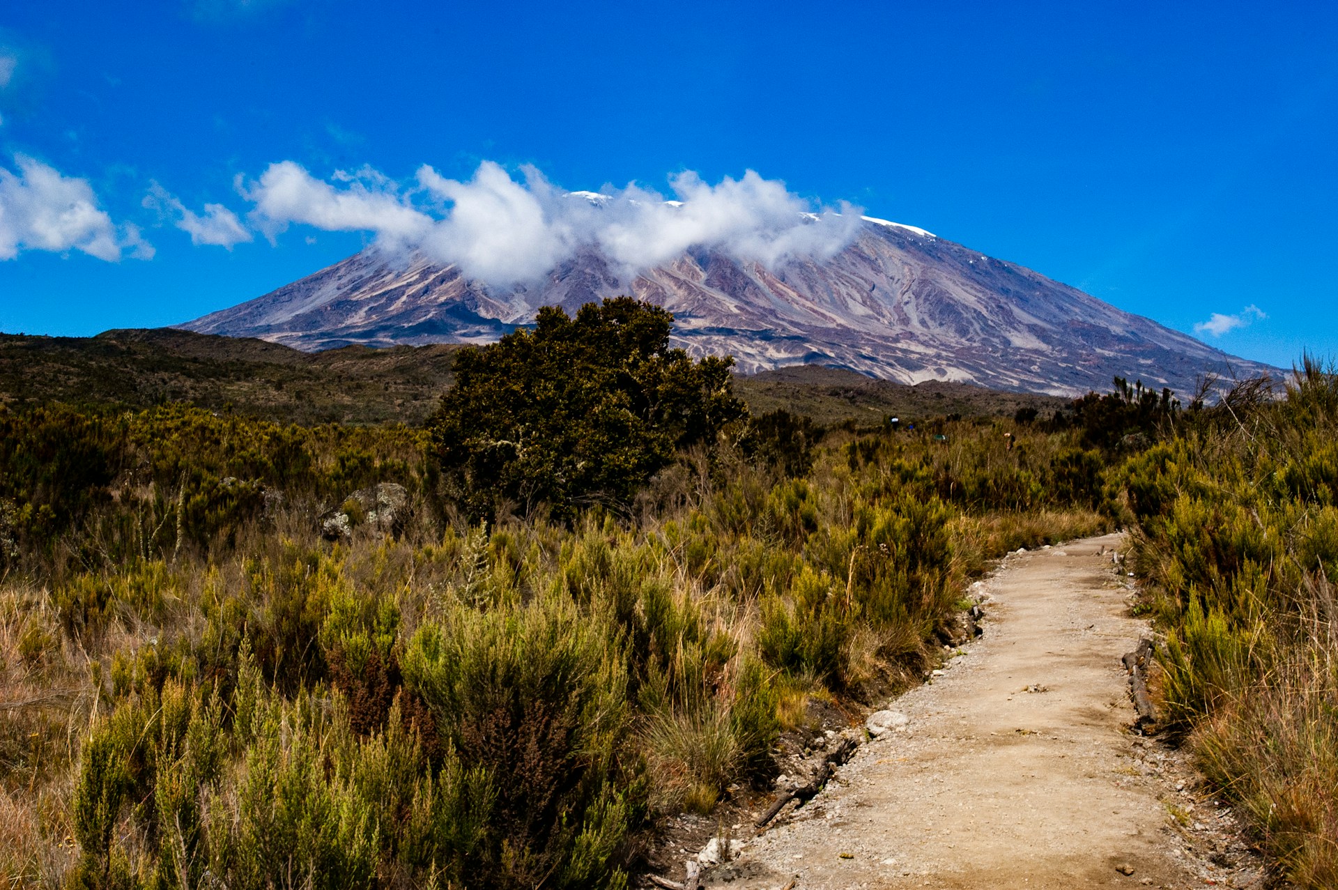
The Lemosho route is regarded as the most picturesque path on Mount Kilimanjaro. It reaches the summit from the western side, traversing the whole Shira Plateau en way to the east, providing a broad perspective of the mountain's faces. It is a popular route because it strikes the perfect mix of gorgeous scenery, little crowds, and a high summit success rate.
For this trip, six days is the minimum required, while eight days is the recommended amount of time.
Lemosho offers expansive views from multiple mountain faces and is regarded as the most picturesque trail on Kilimanjaro. It provides an excellent mix of low traffic, picturesque vistas, and a high success rate for summits.
The Lemosho route and the Shira route are almost exactly the same. Actually, Lemosho is the enhanced version of the Shira route, which was the original. The Shira route avoids this trip by utilizing a vehicle to transfer climbers to Shira Gate, which is located near the Shira Ridge, whereas Lemosho begins at Londorossi Gate and hikes through the rain forest to Shira 1 Camp.
Climbers start their first day on the mountain at 11,800 feet (3,600 meters), spending the night at Simba Camp at the same altitude. The route then combines with Lemosho.
Shira is a stunning and interesting path. Climbers may encounter some altitude-related problems during their first day of camping at 11,800 feet.
The newest and most thrilling path on Kilimanjaro is the Northern Circuit trek. Starting from the west, the trek approaches Kilimanjaro by following the Lemosho path. The mountain's calm, seldom-visited northern slopes are encircled by the Northern Circuit. The longest route in terms of time and distance traveled is a nine-day climb. Because the days spent at elevations of approximately 13,000 feet are ideal for acclimatization, all routes on Mount Kilimanjaro have the highest success rates during this time.
The Northern Circuit path is unquestionably one of the best routes on Kilimanjaro, with a high success rate, incredibly varied scenery, and a very low visitor count.
The sole path that approaches Kilimanjaro from the north, near the Kenyan border, is the Rongai way. Traffic is light in Rongai. For those seeking a less crowded option to the popular Marangu path, those seeking a more secluded trip, and those climbing during the rainy season (when the north side has less precipitation), it is the recommended way.
The minimum number of days required for this route is six days, and seven days are recommended.
Rongai makes up for this by passing through true wilderness areas for days before joining the Marangu route at Kibo camp. This route descends down the Marangu route. Rongai is a moderately difficult route, and is highly recommended, especially for those with less backpacking experience.
The Umbwe route is a direct, steep, and brief path. It is the most demanding route up Mount Kilimanjaro and is regarded as extremely difficult. The short ascent means that Umbwe does not offer the stages required for acclimation to altitude. The likelihood of success is low even if there is virtually little traffic on this route.
The route is offered at a minimum of six days, though seven days is recommended when attempting this route.
The Umbwe route should only be attempted by those who are very strong hikers and are confident in their ability to acclimatize. However, overall,
5 days 4 nights Marangu Itinerary
6 days 5 nights Marangu Itinerary
6 days 5 nights Machame Itinerary
7 days 6 nights Machame Itinerary
6 days 5 nights Rongai Itinerary
6 days 5 nights Umbwe Itinerary
8 days 7 nights Shira Itinerary
8 days 7 nights lemosho Itinerary
9 days Northern circuit Itinerary
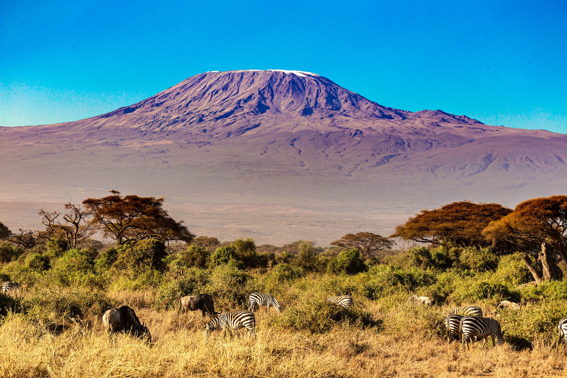
Because of Mount Kilimanjaro's stunning equatorial location, there are just dry and wet seasons rather than harsh winter and summer temperatures.
Kilimanjaro is climbable throughout the year. However, the optimal time is in the warmest and driest months, which increase your chances of having good weather for a successful summit.
The beginning of December to the beginning of March and the end of June to the end of October are the dry seasons. In terms of weather, these are said to be the ideal times for climbing.
The warmest months are from January to mid-March, when there are clear morning and evening skies. From late March to early June is the extended wet season. Climbing is not advised at this time. It can be extremely rainy, and there might be a lot of clouds obscuring the view. It is usually a little bit colder and dryer on the mountain from mid-June until the end of October. Beginning in early November and ending in early December is the brief wet season.
Note: rains are unpredictable and may come early or extend beyond their typical time frames. In short, the temperatures on Mount Kilimanjaro range from hot to bitter cold
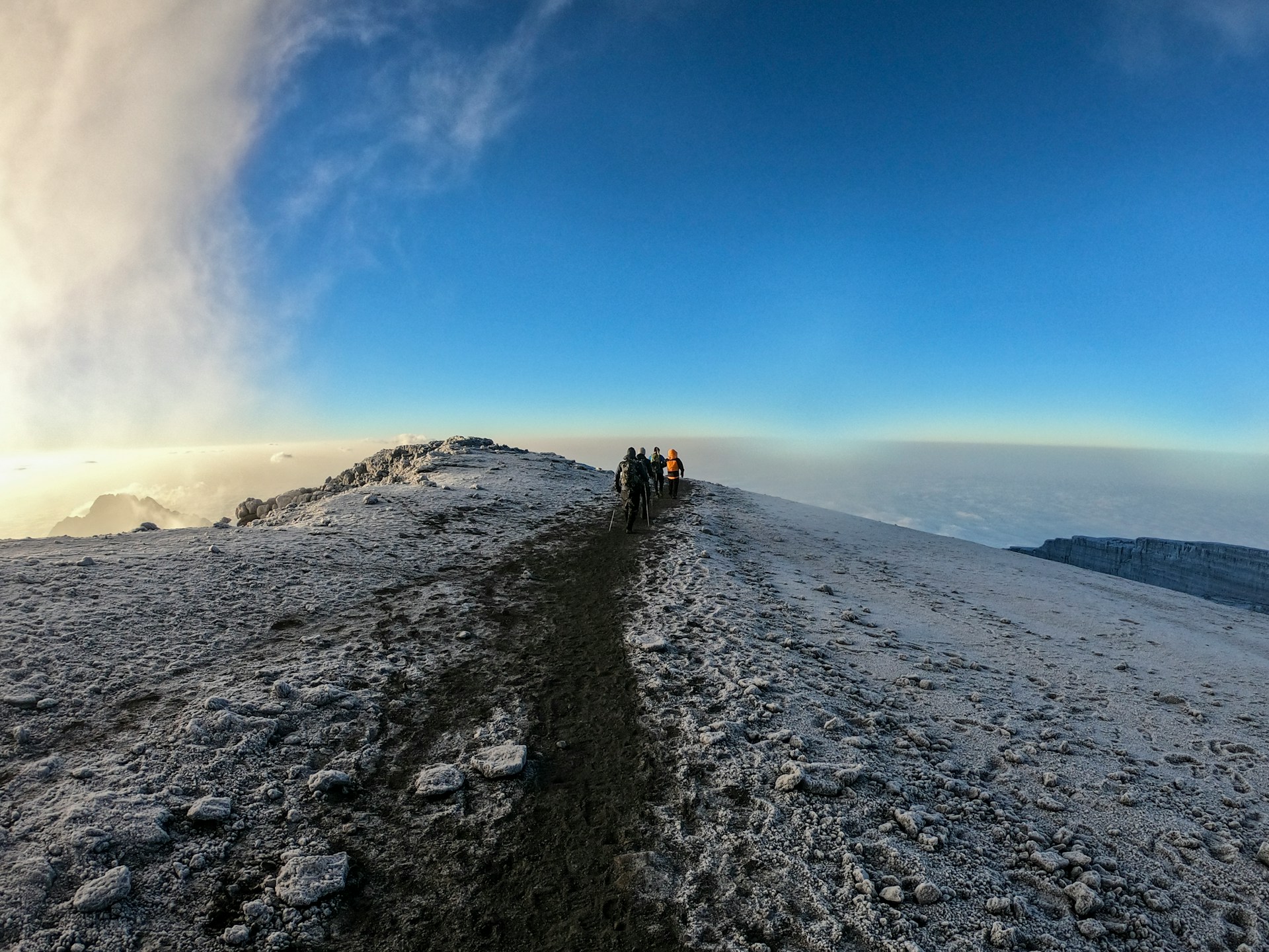
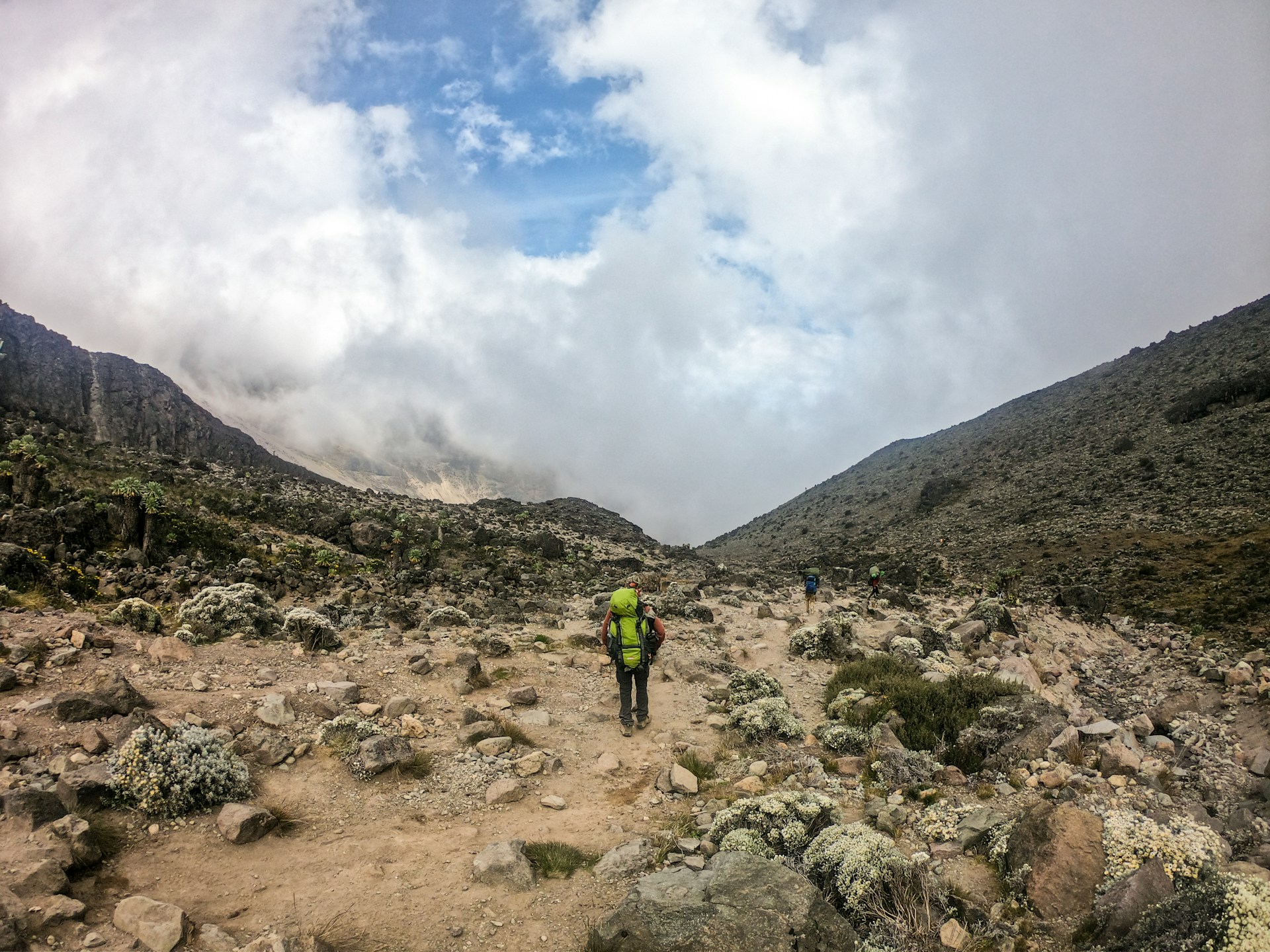
Every route has proper signage and upkeep. There are simply a few spots you might have to scramble across, such the Barranco Wall, the Western Breach, and possibly the Lava Tower traverse, in order to reach the summit; no technical climbing abilities are required. The trail to and from Uhuru Peak can occasionally be arduous and slick, but it is still navigable.
| Month | Temperature | Precipatation | Cloudness | Remark |
|---|---|---|---|---|
| January | Warm | Medium | Low | Recommended |
| February | Warm | Medium | Low | Recommended |
| March | Moderate | High | Medium | Ok |
| April | Moderate | High | High | Not Recommended |
| May | Moderate | High | High | Not recommended |
| June | Cold | Medium | Medium | Good |
| July | Cold | Medium | Low | Recommended |
| August | Cold | Medium | Low | Recommended |
| September | Moderate | Low | Low | Recommended |
| October | Moderate | Low | Medium | Recommended |
| November | Moderate | High | Medium | Not Recommended |
| December | Moderate | Medium | Medium | Good |
You will receive breakfast, lunch, and dinner every day that you are on the mountain from Lasi Tours.
Our meal options are designed to support your ascent and are abundant in quickly absorbed, high-energy carbohydrates.
We serve fresh fruit, rice, potatoes, pasta, veggies, chicken, green beans, pancakes, and leek soup. Meat is served, but not in big quantities because it cannot be retained for an extended amount of time at high altitude and is not readily digested. We replenish the crew with fresh food halfway up the climb in a large trekking group.
On the first day of the journey, mineral water is supplied; on subsequent days, water is gathered from fresh streams, boiled, and treated with tablets to remove impurities.
You might wish to include some extra food, including chocolate, gum, candies, energy bars, or powdered energy drinks.
For anyone with specific dietary requirements, we can also make vegetarian and vegan diets. Please get in touch with us to find out what we can and cannot do. Please be aware that there is not a wide variety of food available in Tanzania. While we will do our best to meet all of your basic needs, due to high demand and lack of available food, customers may be asked to supply their own food items.
If Lasi Tours is your service provider of choice, climbing Mount Kilimanjaro is VERY SAFE and EASY. Although we have enough safety measures in place, choosing a negligent or incorrect agency might be quite risky. You'll be sorry you did. Climbers must be aware of the signs and symptoms of altitude sickness.
The body's inability to adjust swiftly enough to the lower oxygen levels at high altitudes results in altitude sickness (AMS). While severe symptoms don't appear until elevations beyond 12,000 feet, some persons get AMS as low as 8,000 feet.
At sea level, the typical oxygen content is roughly 21%. The percentage doesn't change as altitude rises, but the amount of oxygen molecules in each breath does. The body must adapt to having less oxygen because there are about 40% less oxygen molecules each breath at 12,000 feet (3,600 m). Traveling too high (altitude) too fast (rate of ascent) is the primary cause of altitude sickness.)
Acclimatization gives your body enough time to adapt to the decrease in oxygen at a specific altitude
HAPE results from fluid buildup in the lungs preventing effective oxygen exchange, the level of oxygen in the bloodstream decreases, which leads to cyanosis, impaired cerebral function, and death.
Symptoms of HAPE include: Shortness of breath at rest, Tightness in the chest, Persistent cough bringing up white watery or frothy fluid, Marked fatigue and weakness, A feeling of impending suffocation at night, Confusion, and irrational behavior
In cases of HAPE, immediate descent of around 2,000 feet (600 m) is a necessary life-saving measure. Anyone suffering from HAPE must be evacuated to a medical facility for proper treatment.
HACE is the result of the swelling of brain tissue from fluid leakage, condition is rapidly fatal unless the afflicted person experiences immediate descent
Symptoms of HACE include: Headache, Weakness, Disorientation, Loss of co-ordination, Decreasing levels of consciousness, Loss of memory, Hallucinations & Psychotic behavior, Coma
Diamox (generic name acetazolamide) is an F.D.A. approved drug for the prevention and treatment of AMS. The medication acidifies the blood, which causes an increase in respiration, thus accelerating acclimatization. Diamox at a dose of 250 mg every eight to twelve hours before and during rapid ascent to high altitude results in fewer and/or less severe symptoms of acute mountain sickness (AMS).
The medicine should be continued until you are below the altitude where symptoms became bothersome. Side effects of acetazolamide include tingling or numbness in the fingers, toes and face, taste alterations, excessive urination; and rarely, blurring of vision. These go away when the medicine is stopped. It is a personal choice of the climber whether or not to take Diamox as a preventative measure against AMS.
The second-highest summit of Mount Kilimanjaro is called Mawenzi. East of Uhuru summit is the craggy Mawenzi (5,149 m) summit. Another eruption within the Shira caldera resulted in the formation of the volcano known as Mawenzi. Its western face's summit is somewhat steep, with several crags, pinnacles, and swarms of dykes. Rising above two deep gorges, its eastern side is a network of gullies and rock walls with over 1,000 m high cliffs.
Mawenzi has seven peaks as listed from north to north:
The terrain of Mawenzi makes most of its peaks unreachable but by technical roped ascents. Routes to Mawenzi peak:
1: Rongai route down Marangu gate,
2. Lemosho/ Londorosi route via Northern circuit down Mweka gate
3. Marangu route via Zebra rock down Marangugate and Machame
For Mawenzi technical climbing please contact us
Paragliding is the recreational and competitive adventure sport of flying a paraglide. It is an appropriate recreational activity in the Mountainous areas under specific conditions.
Paragliding is carried out during the day between sunrise and sunset. It is conducted in conditions consistent with VFR (Visual Flight Rules).
This has been allowed so as to give our visitors a different experience of the Mountain. The crater is rich with ice and remains of volcanic eruptions. Spending an overnight in this area is a life time experience that you should not miss. For this life time experience on Mt Kilimanjaro contact us if you are interested to camp here
Crater campers must abide to all the conditions stated below:
Mount Kilimanjaro stands 5895 meters above Tanzania and is home to some of African best bike trails. Start off on the flowing single track, and work your way up to the roof of Africa_ Uhuru peak. To hike one of the famous world's seven peaks it is the adventure of a lifetime and makes you one among billions.
There are two trail options; cycling up to the summit through Kilema route or day hike in Shira plateau to Cathedral point. This ride is designed to be challenging for those of good health and fitness, but is achievable for most people provided they train in advance.
This is a cross-country cycle that begins at Londorosi Gate and travels 12 km through forests and moorland habitats to the Morum barrier and picnic area. A automobile can transport you to the Morum barrier, where the journey begins. From Morum Barier, travel to Cathedral Point (6.03 km) via Shira I, and then continue on to Uwanja wa ndege Picnic Site (1.95 km). The last day's cycling begins from Uwanja Wa Ndege after lunch and a well-earned rest, heading towards the finish line at Londorosi Gate. Using the rescue road, cycle 8.2 kilometers downhill to the Morum barriers, then continue another 12 km to the Londorosi gate.
The Kilema route bicycles through five ecoclimatic zones and reaches the roof of Africa. It is a 19-kilometer cross-country ride that begins at Kilema Gate and ends at Horombo Huts on Day 1. Day 2: brief rides to Zebra Rocks followed by a day's stay at Horombo Huts to allow for acclimatization. Following some cycle maintenance and acclimatization, the journey continues via Jiwe la Ukoyo to Kibo Hut (10.1 km, day 3) in order to reach Mawenzi Hut. The majority of the trail is readable, and hikers can take in breathtaking views of Saddle Area and Mawenzi Peak.
Day summit begins at 10:00 am from Kibo and goes up to the summit (6 km). From there, it's a mile-long ride downhill to Horombo Hut, where you spend the night (16.3 km, day 4). Following a night rest, there was a sharp descent to Kilema Gate (19 km, day 5). This thrilling ride through the best that Mount Kilimanjaro has to offer will be a genuinely unforgettable experience.
Kilimanjaro requires a lot of stuff to climb. It is your responsibility to bring personal belongings and equipment.
Technical Clothing
Headwear
Handwear
Footwear
Accessories
Equipment (can be hired)
Other
Paperwork
PHYSICAL TRAINING:
We recommend that training should begin at least two months before your travel. It would be wise for individuals who are new to trekking to train for a longer duration. If you hike on a regular basis, you should be alright if you stick to your regimen. Day walks are an excellent way to be ready, but if you don't have access to trails, you can train only on a stairmaster machine.
ALTITUDE TRAINING
There are things you can do to pre-acclimatize, or prepare for high altitude, before your climb. For instance, you can spend some time at high altitude immediately before your trip. If that is impractical due to timing, you can take a trip or two to high elevation destinations and hike – just to test your body’s response. You can also use an altitude training system and pre-acclimatize in your own home.
HEALTH CHECK UP
But, it is a good idea to be medically cleared for climbing by your doctor. Your age, fitness level, health, and pre-existing medical conditions may preclude you from high altitude trekking

Climbing Routes
5 days + 4 nights
6 days + 5 nights
6 days + 5 nights
7 days + 6 nights
8 days + 7 nights
6 days + 5 nights
8 days + 7 nights
9 days + 8 nights
Climbing routes
7 days 6 nights
5 days 4 nights
4 days 3 nights
5 days 4 nights
6 days 5 nights
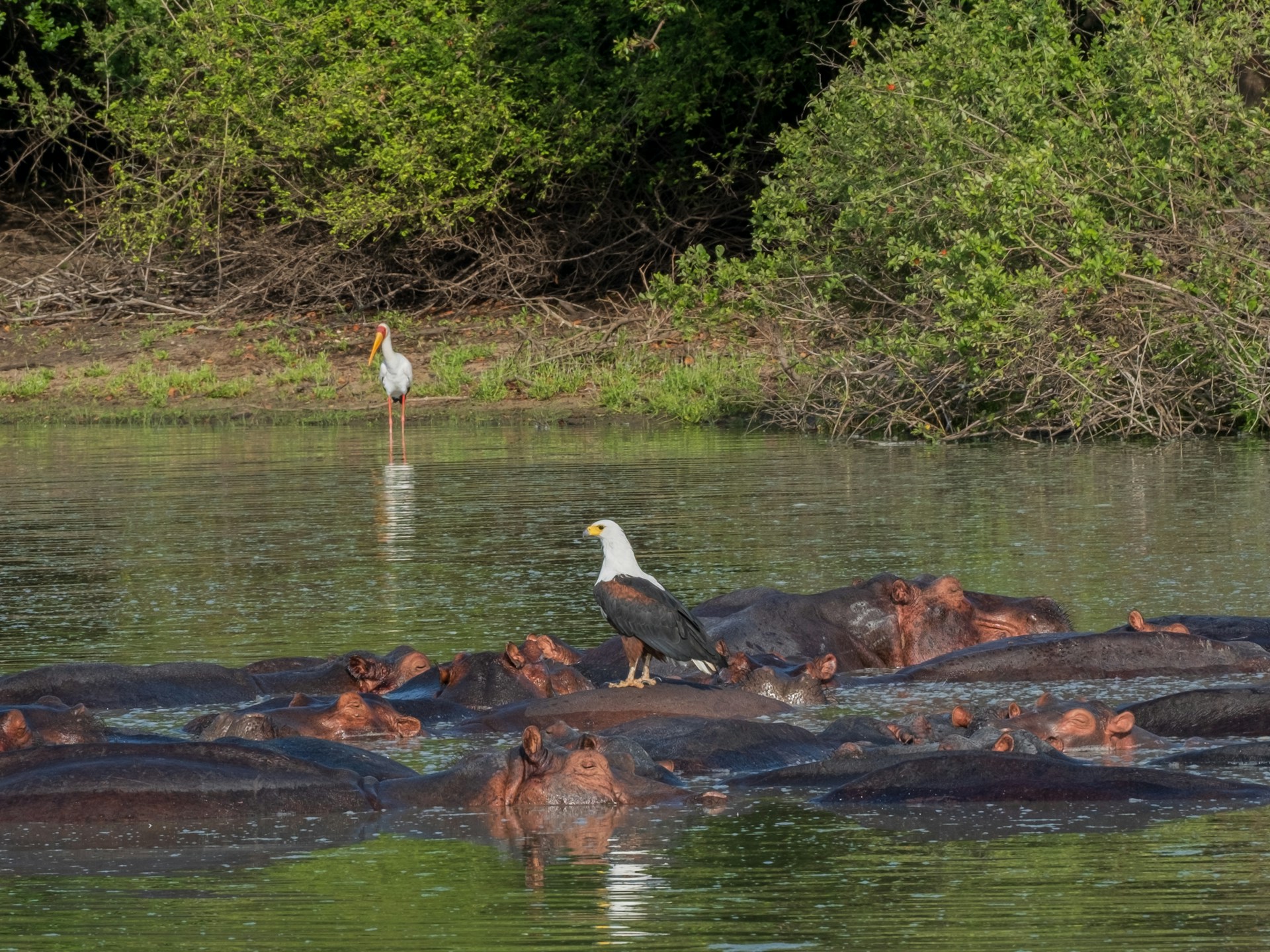
7 Days 6 Nights - Adventure Southern Tanzania Camping Safari
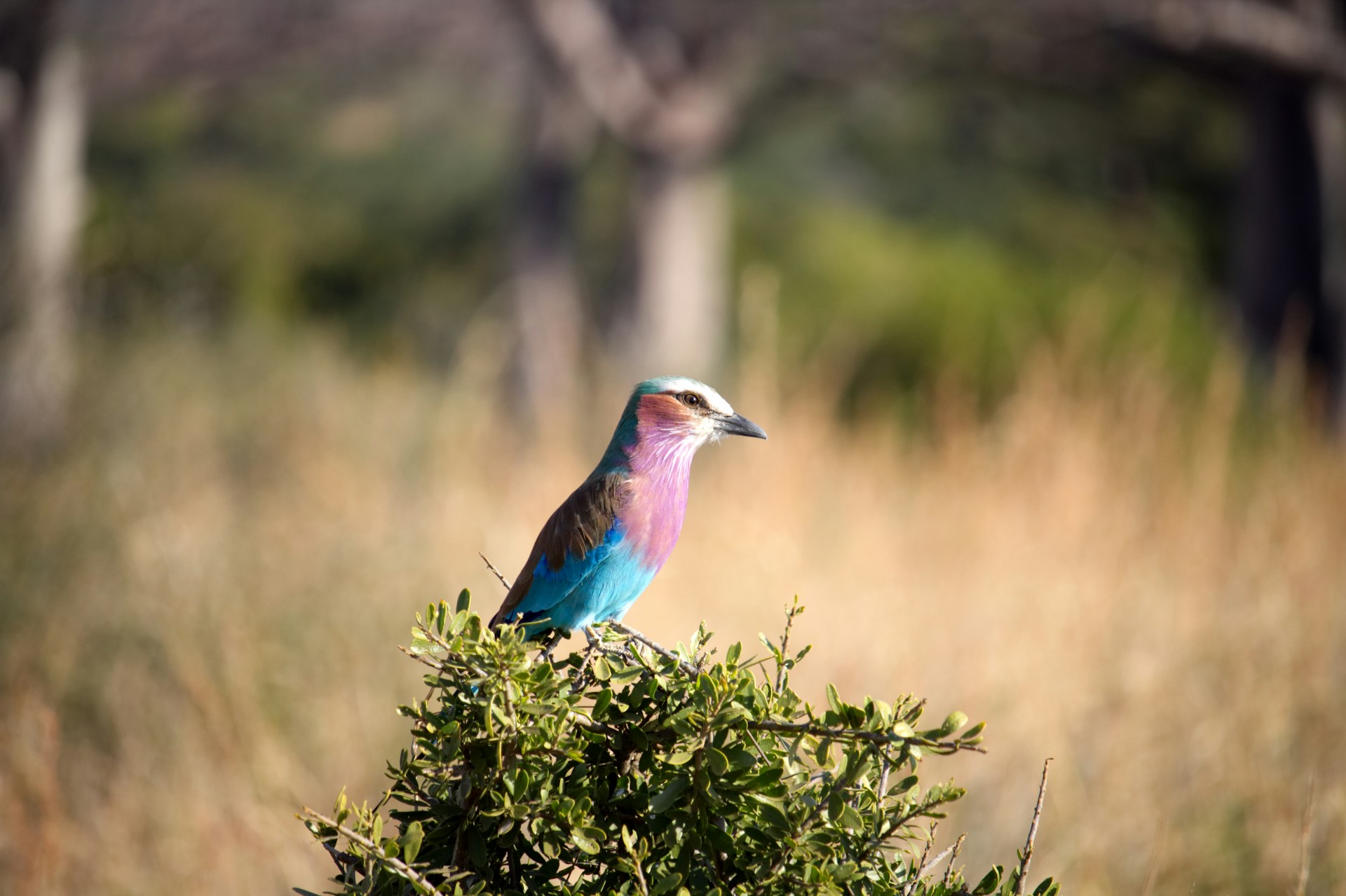
8 Days 7 Nights - Best of Southern Tanzania Safari

9 Days 8 Nights - Magical Southern Tanzania Safari
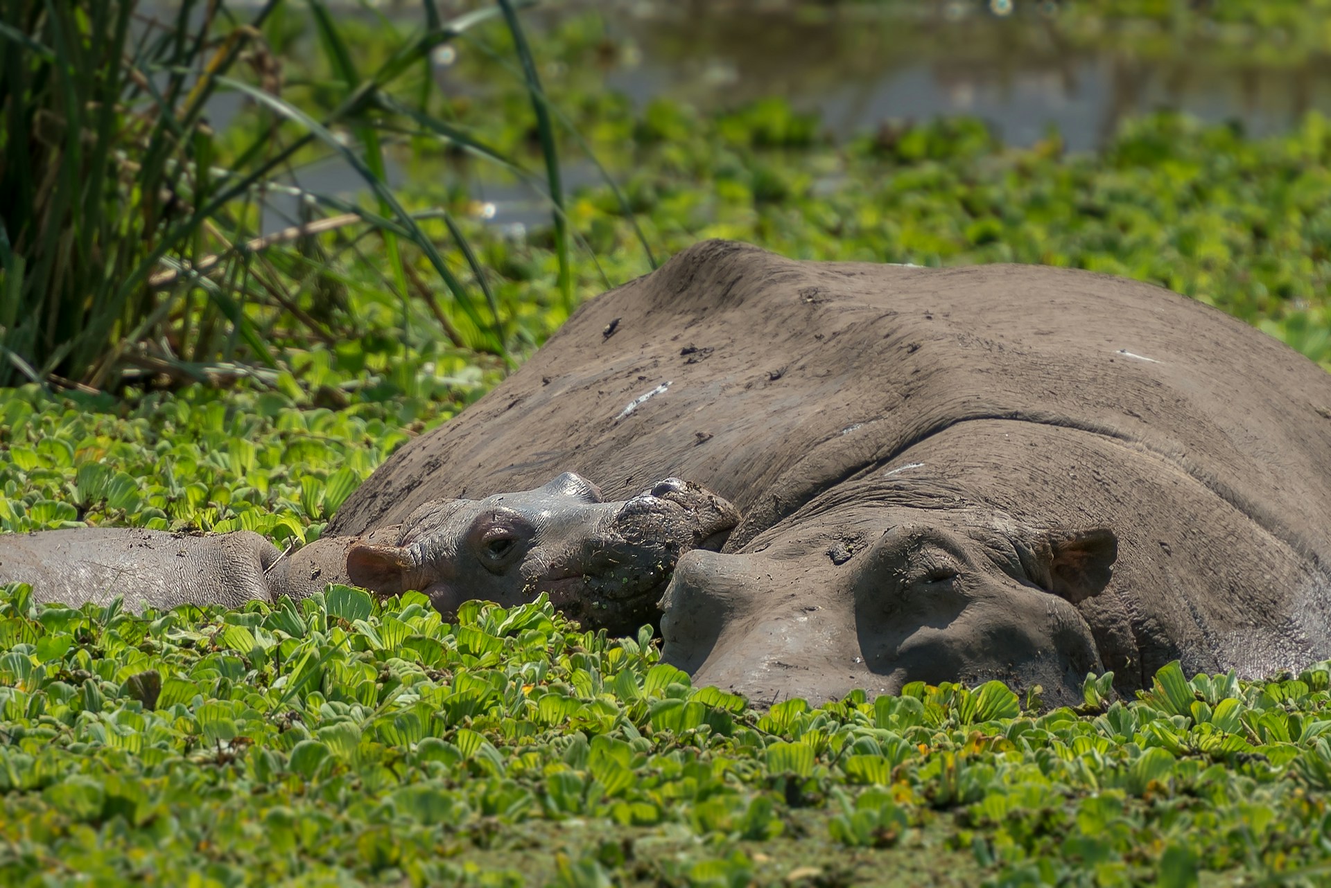
4 Days 3 Nights - Selous Compact Camping Safari
5 Days 4 Nights - Best of Selous Trail Safari
6 Days 5 Nights - South Tanzania Special Safari
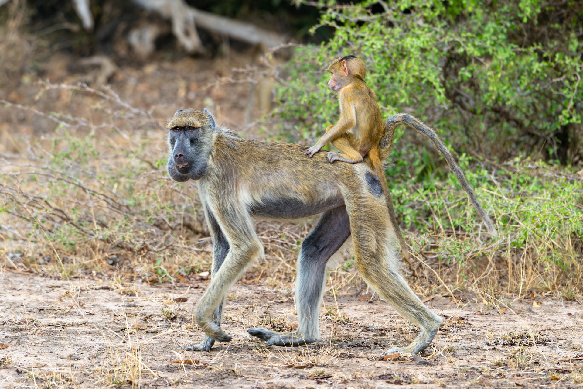
4 Days 3 Nights - Chimpamanzee safari Mahale National Park
5 Days 4 Nights - Gombe Stream National Park

© 2025 Lasi Tours. All Rights Reserved.